Visual Analytics
One of the technologies with the greatest potential impact on the taking of both strategic and operative decisions in Visual Analytics. The interrelation of advanced techniques of Data Intelligence and Artificial Intelligence with Computer Graphics and visualisation allows us to visually analyse and interact with multiple data in contexts of high difficulty (for example, Big Data contexts) to allow experts in the domain to interpret what is behind the raw data and thus improve their knowledge and capacity for decision.
Visual Analytics and Business Intelligence
An important line of work in Visual Analytics is that related to Business Intelligence.
By means of interactive visualisation of the information by experts, supported by Data Intelligence algorithms, we can achieve a major improvement in the comprehension of the current situation in business decision-taking, such as giving instructions and allowing the definition of alternative scenarios in the quest for better solutions.
Visual Analytics for the Analysis of Industrial Data
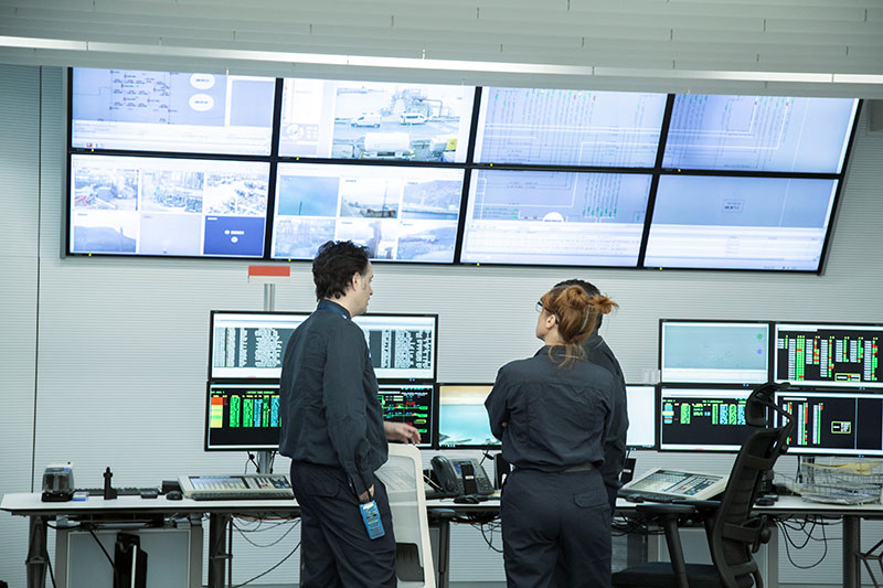
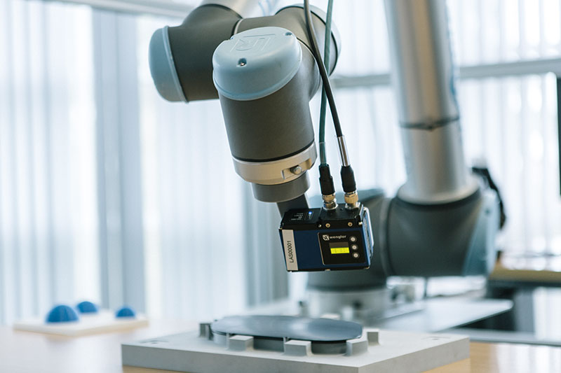
Thanks to the Industrial Internet of Things (IIoT) both the discrete manufacturing industry (machine tools, parts and components, electronics, etc.) and the process industry (Oil and Gas, Chemicals, etc.) have more and more production data. We know that more and more highly valuable information resides in these data, but it is not obvious or evident how to elevate it to the level of knowledge to make decisions. Our researchers have their own technology and ample experience in working alongside experts in these domains to develop Visual Analytics systems to discover non-evident patterns and relationships in production data, thus boosting their decision-making capacity.
Geovisualisation and Visual Analytics
Geovisualisation is one of the most relevant Visual Analytics technologies for sectors such as smart city, smart transport systems, precision agriculture, forestry production, etc. Combining multiple data sources with GIS (Geographic Information Systems) and images from Earth Observation (satellite, aerial photogrammetry by plane or drone, LIDAR, etc.), and applying artificial intelligence, we research and develop technologies and systems with high added value.

Success Story

- Publications
- Noteworthy Projects
Looking for support for your next project? Contact us, we are looking forward to helping you.


